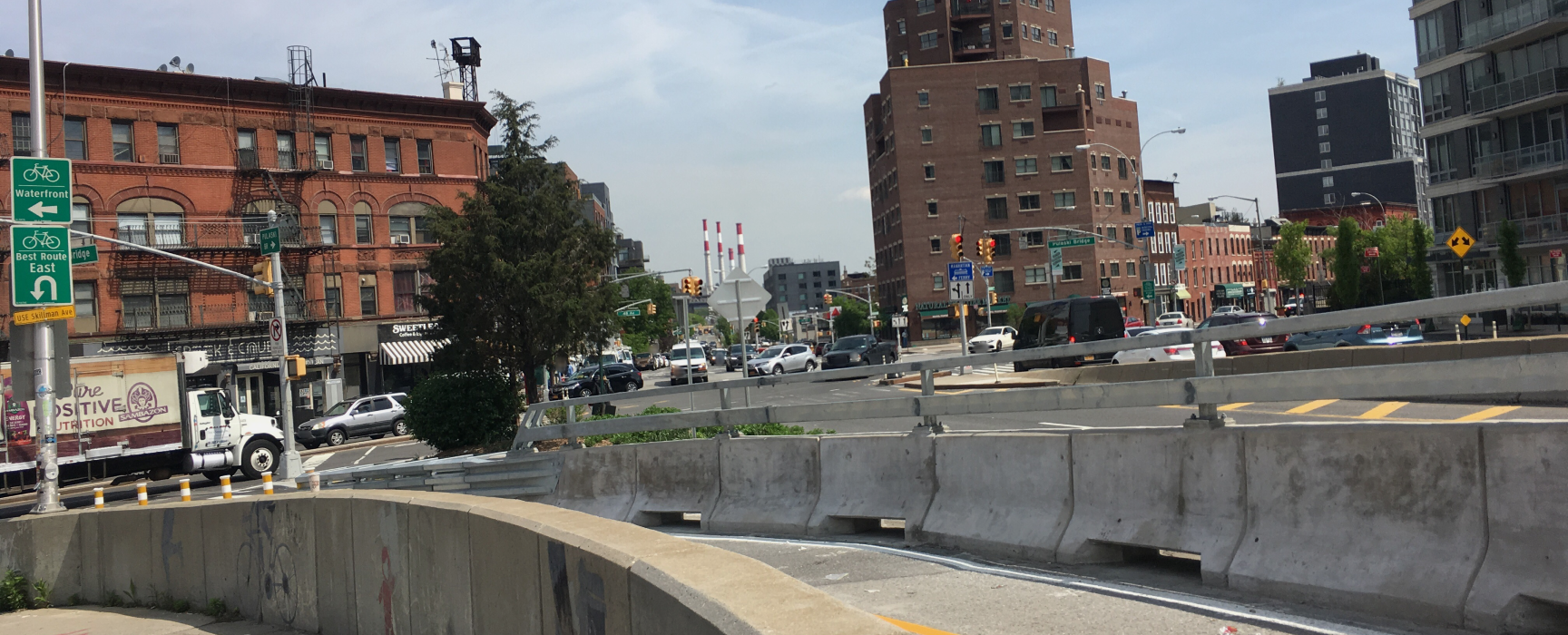
Get the view from the ground

For Geospatial
Professionals
Street-level imagery is a data source for producing geospatial data, maps, and digital twins. Today, street-level imagery is difficult to collect at scale and expensive to keep up to date. Publicly available imagery is often fraught with conditions around use.
Bumigram is a suite of tools for geospatial professionals to easily collect or buy their own street-level imagery. Our mission is to help geospatial professionals do their best work by making street-level imagery simple.
Join our partner network
Get paid to take photos as you drive, walk, or bike, or sell imagery you already have. We offer tools for easy collection from anywhere.
Buy from trusted partners
Submit on-demand imagery requests with your wishlist of deliverables. We work with pre-screened local partners in major metropolitan areas in 150 countries.
Get data you need and more
Get extra value from your imagery with solutions for data extraction, digital twinning, and GIS. We work with technical partners across categories and industries.
Bumigram Marketplace
We work with Potters Maps to offer a neutral and secure marketplace to trade street-level imagery data and services
Partner Solutions
We collaborate with best-in-class software and service providers for working with street-level imagery.